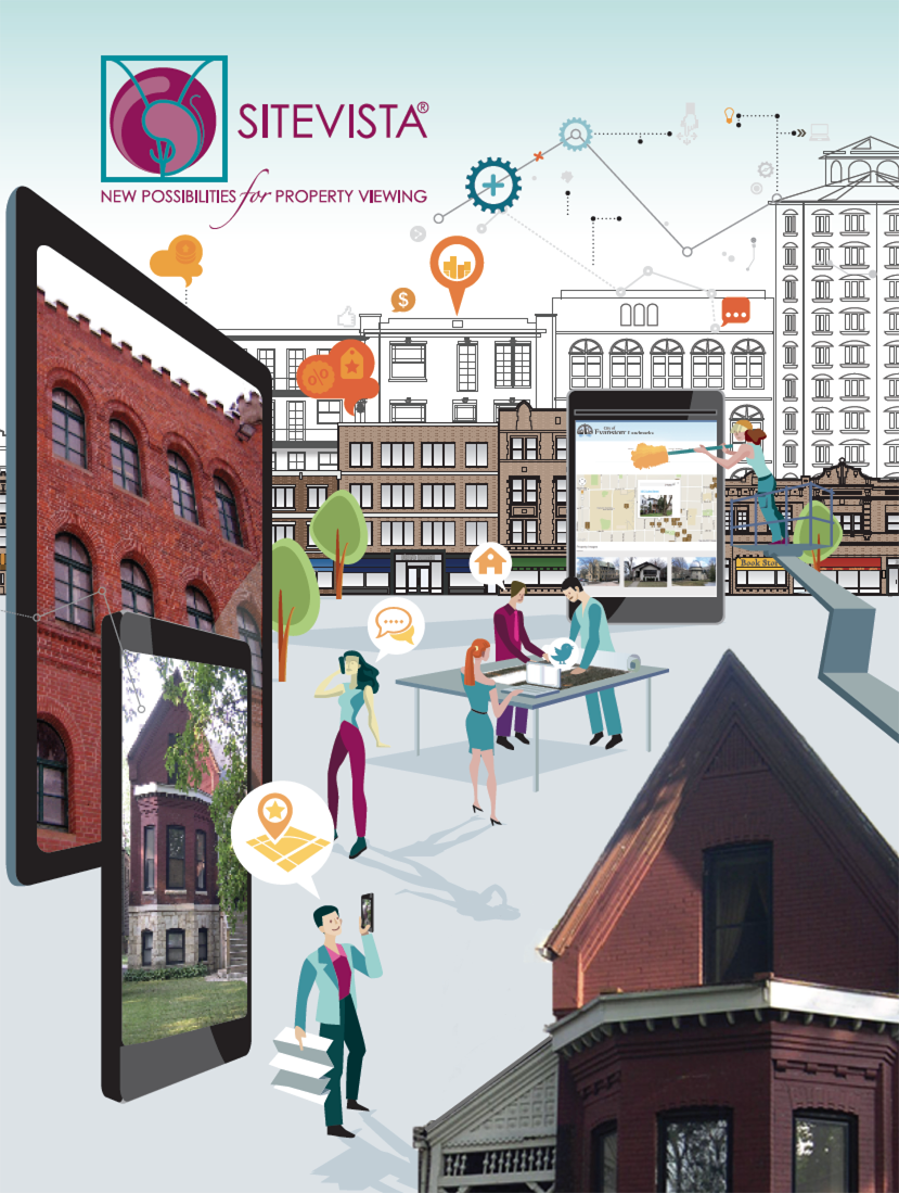
• 5
  • 1
  • 2
  • 3
tour demo    pricing
content_management Content Management

It really is as easy as filling out a form and pressing submit to view your content live on the web. You can customize the form for your projects/properties as your needs change.

design Design

A web designer can create a custom look and feel of your website pages and Google Earth balloons through HTML templates which provide a lot of flexibility to integrate the property database with an existing site.

map Google Earth

Dynamically generate KML files viewed in Google Earth. Tell a story about architecture, projects, favorite places, and development opportunities in a more creative environment.

content_management Geotag Content

Spatially organize pdfs, images, and data by assigning it a classification and a corresponding custom place mark. Filter by zip code or keyword then map or view as web page.

images Images

Attach an unlimited number of images for each entry, showcase images in a gallery which are automatically resized to quickly display large on high resolution monitors.

portfolio Portfolio Management

This is the tool for your portfolio! Let SiteVista® do the heavy lifting while you obtain instant results. Choose a template, upload, and launch your site.

ARAugmented Reality

Augmented reality (AR) is created through a combination of HTML and KML. We are forward thinking; the use of SiteVista® will greatly accelerate the development of AR content. Learn more about AR, specifically Georgia Tech's new open source web browser, Argon, to view AR content..

Follow our blog as we create AR for urban design and planning projects.

Wouldn't it be great if you could map it easily?

Are you a professional with project or property information who...

  • Desperately needs to launch a portfolio with a system in place that makes it easy to expand over time?
  • Wants to make a user-friendly map without hand coding it?
  • Would like to be able to query your data set and produce a map from it?
  • Needs to organize property information into a flexible system?
  • Must make different interactive maps from one data set?
  • Desires to collaborate on a project remotely?
  • Imagines the potential to share Google Earth maps as layers in order to create a sophisticated mash-up?
  • Could utilize the balloon capabilities in Google Earth to present images, PDFs, and relevant content?
If you answered yes, then you need a solution to organize your project or property files into a system that expands your website capabilities.

Google Earth maps are not a trend, they are a user-friendly way to safely share any content linked to the built environment.

You've probably wondered if there is a solution for your content that doesn't require a degree in GIS, or perhaps your existing system is cumbersome. Maybe you never thought about mapping your project portfolio and didn't realize how easy it is.

Just imagine there is an application for non-technical users to create and distribute content on a map and a web page. The ideal solution would:

  • Be simple to use and administer
  • Adapt to your needs as they change
  • Return search results and produce a map from them
  • Link images and text to the place mark
  • Integrate with an existing website
  • Dynamically update the map when edits are submitted

SiteVista® is an easy-to-use website application to manage property and portfolio information and display it as an image gallery, web page, and Google Earth map to showcase projects and places. It is a robust database that enables you to expand and manage html and kml without programming.

PlaceVision has worked with hundreds of professionals in the planning and A/E/C industires over the last ten years helping them to do more with technology in less time. Our team not only speaks the language of results but we have worked in the profession and deeply understand your perspective.

demo

SiteVista® Features:
Content management system
Image and document support
Search by zip code
Flexible design templates
Google Earth mapping
Email and share
Image galleries
Search filters

Administration:
Customize entry form
Upload unlimited kml layers
Custom place mark support
Two levels of administration
Automatically geotag content
Create categories and specific input fields
Activate and Archive entries
Mass import

Write better proposals, effectively market your projects, and overcome technology obstacles.

Receive exclusive offers from PlaceVision on featured products and services. Gain insight into how emerging technologies can give you a competitive edge!

Name:
Email:
PlaceVision

Copyright ©2005-2011 PlaceVision Inc. All rights reserved.